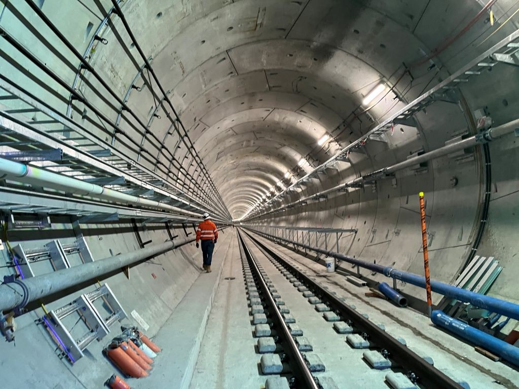
The Cross River Rail project in Queensland shows how integrated BIM and GIS workflows can unlock better collaboration, deeper insights and smarter decision-making.
Cross River Rail is one of Queensland’s largest and most complex transport infrastructure programmes, delivering a new rail line beneath Brisbane’s river and central business district, with multiple new and upgraded stations, tunnels and stabling and signalling works delivered across 17 active work sites. With thousands of contributors and billions of dollars at stake, the programme demanded an extraordinary level of coordination, certainty and risk mitigation.
From the start, the Cross River Rail Delivery Authority (CRRDA) made a deliberate choice – build digitally first, then build physically, with Building Information Modelling (BIM) and Geographic Information System (GIS) technology working as one to place real-world context at the centre of planning, design, delivery, and readiness for operations.
The challenge
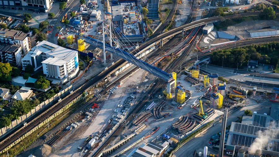
Cross River Rail is a major Brisbane infrastructure project delivering a 10.2km rail line, including 5.9km of twin tunnels beneath the Brisbane River and central business district, four new underground stations and significant station and network works to increase capacity and resilience.
On a programme this large, delivery partners generate huge volumes of design and construction information. Without consistent standards and connected data, models drift, coordination breaks down and teams risk making critical decisions without a reliable view of real-world conditions, like utilities, property boundaries, environmental constraints and more.
CRRDA also needed a way to communicate complex engineering works with transparency, supporting stakeholder engagement and enabling scenario planning for safety and operations (from evacuation planning to emergency response), well before passengers ever step onto a platform.
The solution
A federated digital foundation, built once, but trusted everywhere. CRRDA adopted a BIM-enabled approach to create a federated digital representation of the rail system, aligning engineering models with real-world spatial context so decisions could be made with confidence, based on authoritative data, not static documentation.
Through the Esri Australia–Autodesk partnership, CRRDA connected design and construction data to geospatial reality, supporting collaboration across teams and helping translate project information into enterprise insight.
CRRDA’s “system-of-systems” approach connected:
- Autodesk authoring + coordination workflows (including Revit, Civil 3D, AutoCAD, Navisworks, and Forma as the working environment).
- A formal common data environment for approved deliverables with controlled transfer workflows.
- Esri’s GIS platform, centred on ArcGIS Enterprise, to securely deliver authoritative 2D/3D spatial information and support planning assessments, option evaluation, and impact analysis.
- A 3D visualisation pipeline to bring technical accuracy and photorealism into immersive experiences.
Russel Vine, general manager, strategic communications and engagement at Cross River Rail Delivery Authority, said: “We wanted our model to be an operable digital twin that could not only de-risk design and construction, it might also be at the forefront of how digital twins play a role in day-to-day rail operations.”
Outcomes
1) Better decisions, earlier – reducing risk and rework
By combining BIM and GIS into a connected environment, teams could identify conflicts sooner, test options with real-world context and make decisions faster, helping avoid costly rework and delays later in delivery. CRRDA estimates costs averted to date in the neighbourhood of millions through earlier detection and resolution of issues.
2) Simulation-led planning for safety, operations and major events
With a digital twin foundation, CRRDA simulated station operations and emergency scenarios (including evacuation flows and time-critical responses) and used visualisation as a “common ground” for workshops with operational and emergency stakeholders – refining procedures and shaping readiness activities before opening day.
3) Stronger stakeholder engagement and public trust through visual clarity
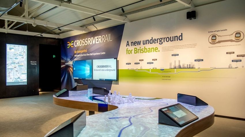
CRRDA’s Experience Centre and immersive digital storytelling helped translate complexity into clarity, supporting transparency, improving understanding and strengthening community confidence in project outcomes.
Why this all matters for infrastructure owners and delivery agencies
Cross River Rail shows what becomes possible when authoritative spatial data is treated as a core input to engineering and delivery, not an add-on. By bridging BIM and GIS across the project lifecycle, infrastructure owners and AEC teams can manage complexity at scale, evaluate scenarios earlier and connect project information to long-term operational value.
The project proves that digital transformation isn’t a future ambition, it’s a practical advantage today. By unifying BIM and GIS, CRRDA is building with clearer insight, greater confidence and a stronger foundation for connected infrastructure systems that will serve Queensland for decades.